


“Tekurious Drones completely changed my workflow. The aerial stability and image quality are unmatched at this price point. The GPS precision helps me get exactly the shots I envision—every single time.”

“I’ve used many drones during my travels, but Tekurious has been the most reliable. Easy to carry, fast to deploy, and the battery life is impressive. It’s my go-to gear for capturing cinematic travel footage.”

“Absolutely love the innovation Tekurious brings to the drone market! Great design, intuitive controls, and stellar performance even in moderate winds. Highly recommended for hobbyists and pros alike.”

“We’ve started using Tekurious Drones for live event coverage. The footage is smooth and the wide-angle lens gives us the perfect crowd shots. Our clients are loving the new aerial perspective!”
“Fast, responsive, and durable—Tekurious Drones are perfect for drone racing enthusiasts like me. It’s lightweight yet powerful, with minimal lag and great maneuverability.”

“The aerial views from Tekurious Drones help me showcase properties in a much more appealing way. Clients love it, and I’ve seen a direct increase in engagement and sales.”

“If you're into content creation, Tekurious Drones are a must-have. The built-in stabilization and 4K camera give a professional touch to all my YouTube videos. Totally worth it.”

“As a hardcore gamer, I love trying out tech that feels like it belongs in a game—and Tekurious Drones are exactly that. The real-time FPV (First Person View) mode feels like piloting a drone in a futuristic battle royale. Super immersive, zero lag, and insane control sensitivity. It’s like playing Warzone or PUBG, but in real life. Total blast!”
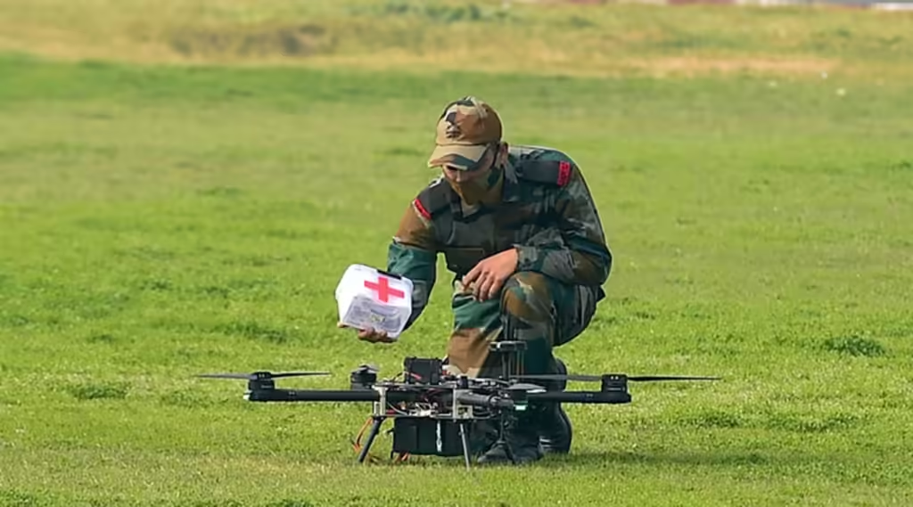
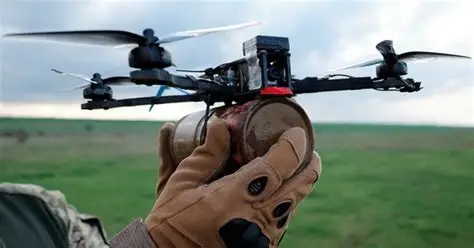
“During my years in active duty, I witnessed the evolution of surveillance tech firsthand. What impressed me about Tekurious Drones is how they’ve brought military-grade functionality to the public sector. The stability, range, and precision of these drones mirror what we used in field ops—ideal for training cadets or even strategic simulations. If you’re serious about mission-ready tech, Tekurious delivers beyond expectations.”